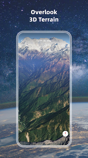
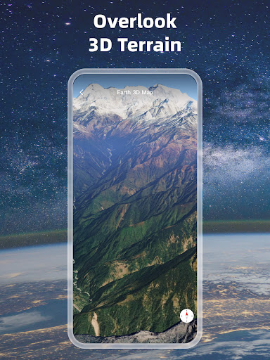
1. High-definition 3D globe
2. Load map tile data
3. Oriental compass function
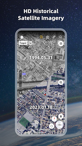
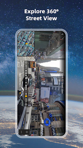
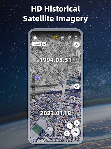
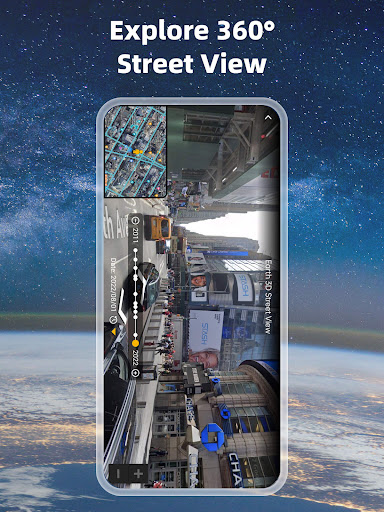
4.historical street view
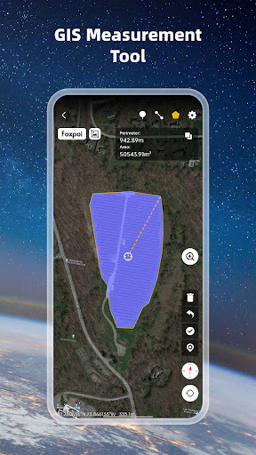
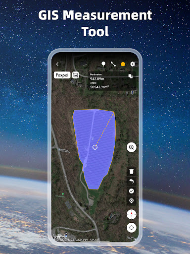
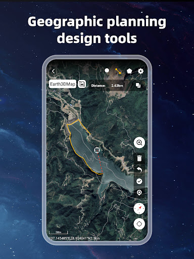
5.Measuring area distance
6.latest satellite imagery
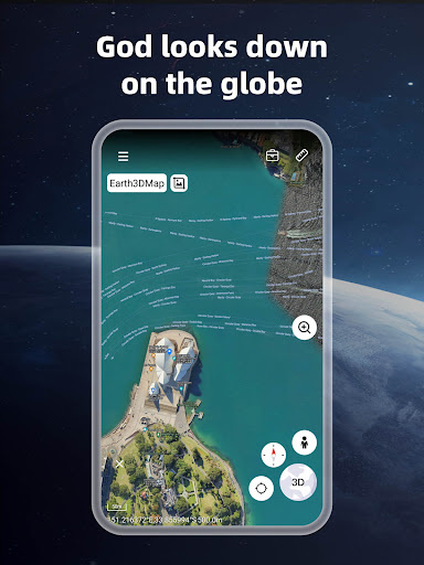
World Satellite Map allows you to view any place on Earth using photos taken from satellites. The advantage of the world satellite map over other maps is that the satellite map allows you to consider the surface terrain, forests, rivers, lakes, buildings, roads in sufficient detail with a high degree of detail. With satellite maps, you can travel the world online without leaving your phone.
From world satellite map.
1、bug fix;
1、Optimize screenshots
1、add random attractions;
2、bug fix;
1、add random attractions;
2、bug fix;
1.Added UTM coordinates to the location panel
2.Add random street view
3.bug fix
1.Adapt to German, Vietnamese, Portuguese
2.Optimize user systems
3.Optimize and add icon libraries
1. Add old maps;
2. Add track records;
3. Add DXF file import and export;
1.bug fix
1. Add offline maps;
2. Optimize search locations and add search administrative areas;
3. Add contact information for TikTok and YouTube;
4. Add folder data sorting;
5. Add positioning for 3D terrain;
6. Add circle drawing;
7. Adapt to Spanish;
8. Add compass;
9. Bug fixing;
1.Add historical images and moon;
2.Add contour and graticule;
3.Add user login;
4.Add marked by pressing map, add elevation data to the search result;
5.Add settings:UTM,flight animation,length/area/Latitude and longitude unit
6.Add marker style editor;
7.Add gpx file import;
8.Add long press quick save marker;
1. add historical street view
2. add search
3. Optimize measurement
4. bug fix